The river corridor is probably the largest area of managed retreat in an urban centre worldwide. How can our experience inform processes of managed retreat elsewhere? The question is central to this project, which has developed a model of ‘retreat’, ‘relocation’ and ‘re-imagining’. Re-imagining asks how can the land be re-used for projects that further lower environmental and social risks.
Rephotography
The Living Lab seeks to capture change through time as the river corridor adapts to environmental change since the earthquakes. We originally set up a network of 31 sites, grouped in seven parts of the corridor, as illustrated on the map below. We have now reduced this to seven sites, one in each group. Photographs are taken at each site at different seasons, replicating the location, orientation, aspect and composition of the first photograph in the sequence.
The seven sites will be illustrated below, with the photographs at each contextualised in a sequence of four time frames:
-
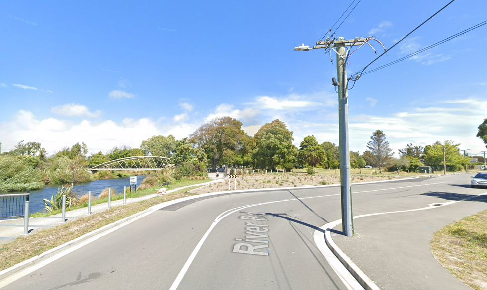
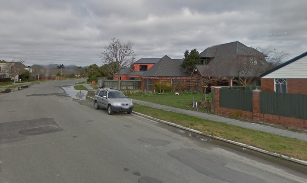
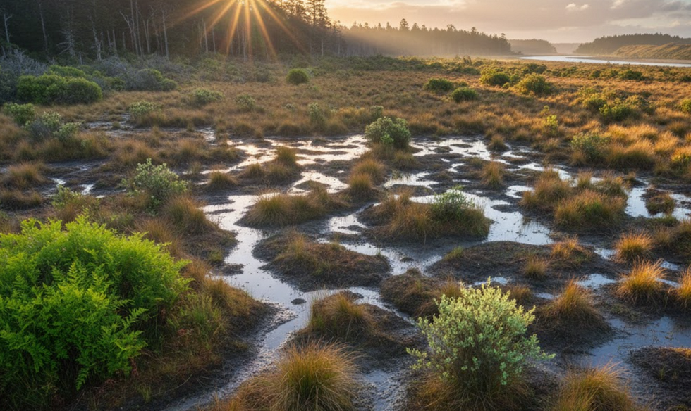
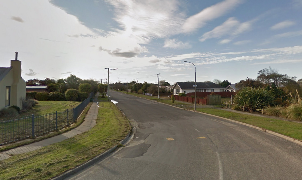
The original site: AI constructions based on information on the 1850s Black Maps
-
Pre-earthquake site: 2007 Google Street View
-
Present day site: (rephotography)
-
Future site: images are indicative and not necessarily specific to each site. Drawn from various sources as indicated.
The illustrations for each site can be enlarged to provide a clear narrative of change over time.
Site 1- Avon Loop
Nov 2022 - May 2024
Site 2- River Road (East and West)
Nov 2022 - May 2024
Site 3- Avonside Park
Nov 2022 - May 2024
Site 4- Jean Batten Place
Nov 2022 - May 2024
Site 5- Brooker Ave, Burwood
Nov 2022 - May 2024
Site 6- Ngaio Marsh, NB Road
Nov 2022 - May 2024
Site 7- Morganwood St, Bexley
Nov 2022 - May 2024


